


Engineering
Every citizen of India has his own right to seek any information which he would like to pursue for his own well-being and others.In this regard 54 cases have been finalized by the Engineering section from 1st Jan to 31st Dec 2013.
Roads:-The NH-4 is passing through the Cantonment Board from Nigdi to Begdewadii.e Km no.20 to 27 and Katraj By-pass from Central Restaurant to PCMC limit at Kiwale Village.
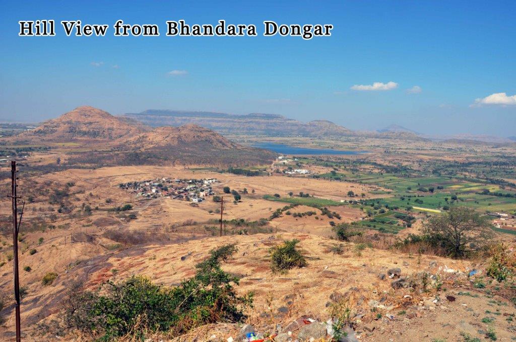
This office takes a total length of 40km falling under its own jurisdiction and maintains the same. In addition to this, it has developed narrow lanes by means of PCC/stone set roads. Lands The Dehuroad Cantonment Board has an approx area of 9038.2883 spreads across various villages. The details of the different types of lands are as follows
Outside Civil Area| Sr.No | Type of Land | Name of the Land | Acres |
| 1. | A-1 | Military Land | 4812.7420 |
| 2. | A-2 | Military Land | 1483.7866 |
| 3. | B-1 | Central Govt. | 29.3845 |
| 4. | B-2 | Land under the management of DEO but owned by state government | 168.9470 |
| 5. | B-3 | Land under the management of DEO but owned by central government | 36.4381 |
| 6. | B-4 | Land under the management of DEO but owned by central government | 21.2240 |
| 7. | C | Cantonment Board Land | 5.010 |
| 8. | Pvt.Land | Private owners | 2161.0221 |
| Total | 8718.5543 |
| Sr.No | Type of Land | Name of the Land | Acres |
| 1. | B-2 | State Government | 32.003 |
| 2. | Pvt.Land | Private Owners | 87.242 |
| 3. | B-4 | Central Government | 200.489 |
| Total | 319.734 |
Total outside civil area + inside civil area=9038.2883 acres.
Recently survey work for fixation of the boundary pillars was entrusted to Science and Technology park to demarcate the internal boundaries.


